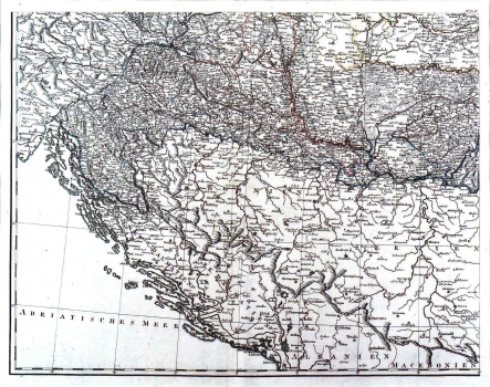
UNKNOWN: MAP OF HUNGARY
It was based on the map of Hungary issued by Hohann Christian Müler in 1709. It shows the Croatian lands within Hungary. According to the borders indicated with the Ottoman Empire, this map was produced after the Treaty of Požarevac of 1718, i.e. before the peace treaty concluded at Svištov in 1791 according to which the eastern part of the region of Lika entered back into the territory of Croatia. Dalmatia is designated as "Venet. Dalmatien", and Herzegovina as "Turk. Dalmatien", which confirms that the map was created before the fall of the Republic of Venice occurred in 1797. Within the territory of Slavonia the boundaries between its military and civilian part are shown, while in Croatia such delineation was not made. The representation of the topography by lines of molehills is characteristic. This type of the topography imaging in the 18th century was characteristic for Johann and Franz Müller and Johann Joseph von Reilly, so that among the three of them we ought to search for the possible author of this map of Hungaria.
ANONIM / ANONYM / NOT KNOWN
